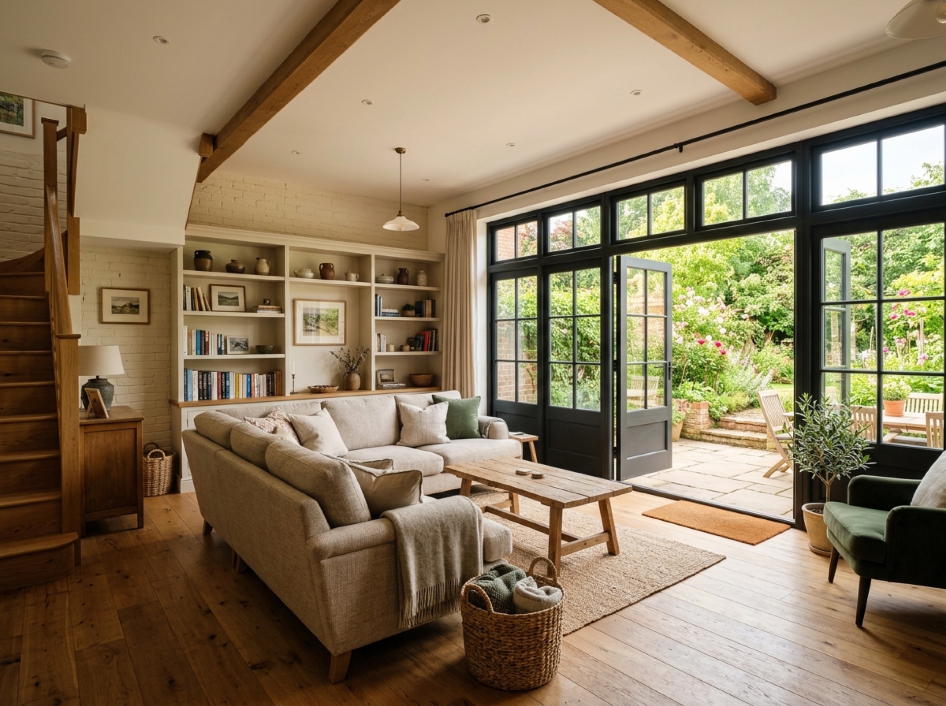
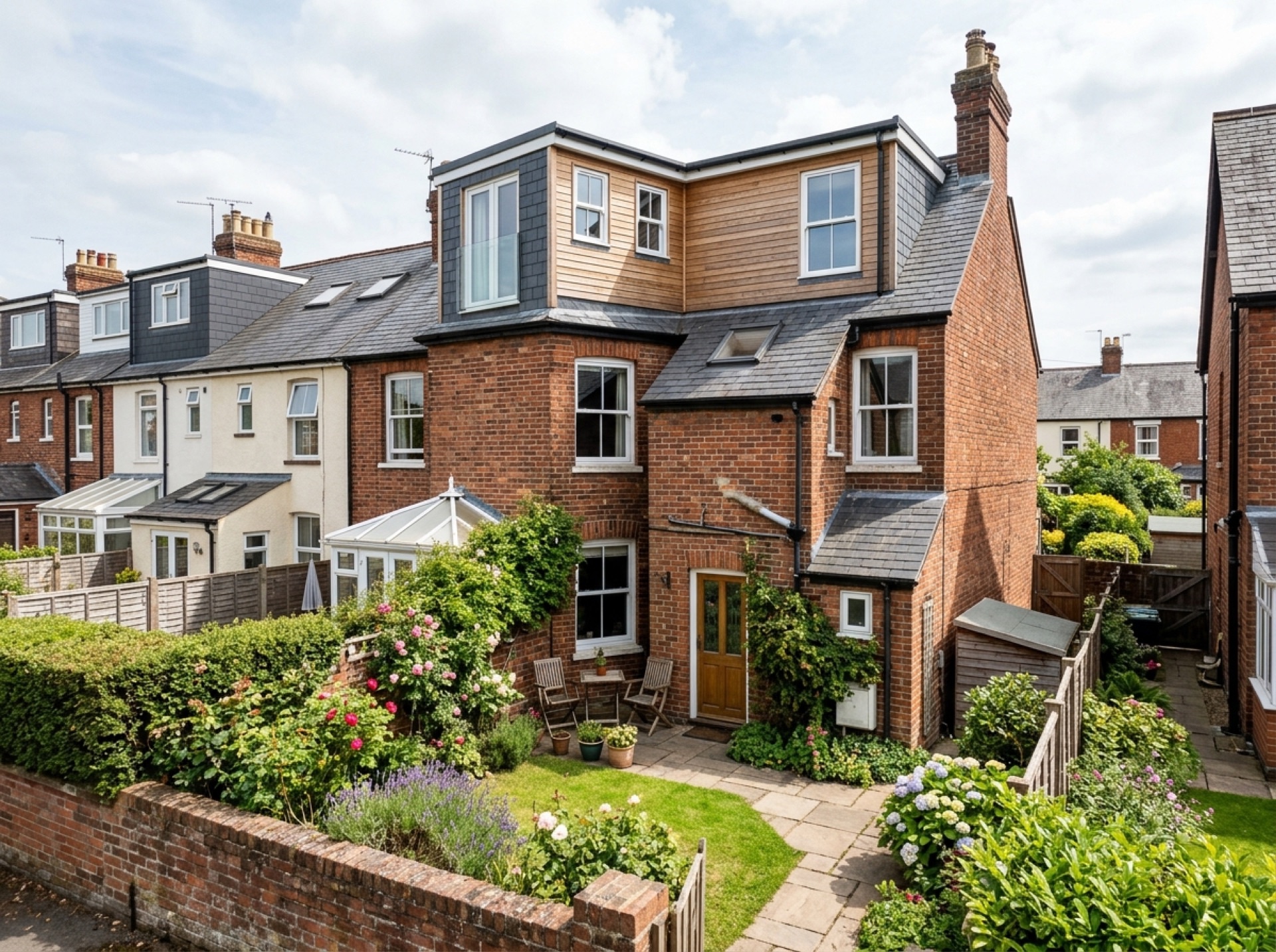
A village within the Surrey Hills
Westcott's centre includes a church, shops and pubs along its main street, set within the Surrey Hills National Landscape, the area formerly known by its Area of Outstanding Natural Beauty designation.
Nearby open land
Milton Heath and The Nower, a nature reserve accessible from Westcott Road, sits close to the village and offers open heath and woodland walking without needing to travel far from home.
Council
Mole Valley District Council handles planning across Westcott, in keeping with the rest of the villages west of Dorking.
Frequently asked questions
Is Westcott within a protected landscape?+
Yes, the village sits within the Surrey Hills National Landscape, which can be relevant to what's permitted for visible external work.
What is Milton Heath and The Nower?+
A nature reserve close to Westcott, reached from Westcott Road, covering open heath and woodland.
Nearby areas
Services
Useful local links
- Reigate and Banstead Borough Council – Planning — The planning authority covering Reigate and Redhill, a separate borough from Mole Valley.
- Epsom and Ewell Borough Council – Planning permission — The planning authority covering Epsom, a separate borough from Mole Valley.
- Elmbridge Borough Council – Planning permission and applications — The planning authority covering Cobham, a separate borough from Mole Valley.
- GOV.UK – Planning permission: when you need it — Government guidance on when planning permission is required in England and Wales.
- GOV.UK – Party Wall etc. Act 1996 guidance — Government guidance on notifying neighbours and resolving disputes over shared or boundary walls, relevant to attached garage conversions.
- Planning Portal – Garage conversion — National guidance on when planning permission is needed for a garage conversion in England.
- Planning Portal – Outbuildings — National guidance on permitted development rules for garden buildings and outbuildings, including height and coverage limits.